“Maps can be seen as truth”: Why Indigenous communities are using digital mapping to defend their land
Mapping technologies and spatial data can pinpoint environmental hazards within a community
Why It Matters
GIS mapping superimposes layers of data about a location over a digital map to reveal trends and gaps in an area. For social purpose organizations working at local or regional levels, this information can be critical in driving awareness and funding towards specific communities’ challenges.
This independent journalism on data, digital transformation and technology for social impact is made possible by the Future of Good editorial fellowship on digital transformation, supported by Mastercard Changeworks™. Read our editorial ethics and standards here.
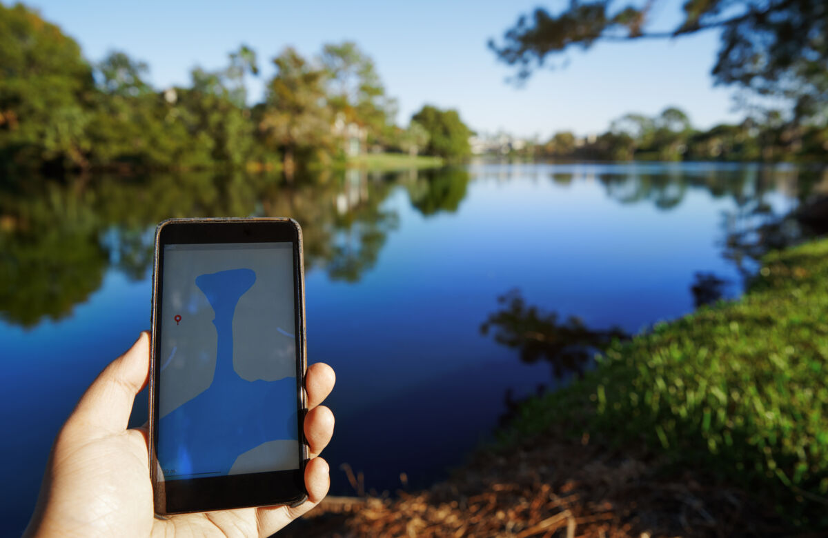
In Northern Alberta, The Firelight Group – an Indigenous-owned consultancy working with Indigenous communities – has been working with a First Nations community to better understand water levels and flow. The research was initially prompted by community knowledge holders, who felt that lower river levels had changed their ability to navigate and travel through the river.
Five years of environmental and scientific-based mapping and monitoring confirmed what community elders had said much earlier.
This is one example of storytelling through mapping that has woven Western science and technology together with Indigenous knowledge, says Steve DeRoy. DeRoy, the founder of both The Firelight Group and the Indigenous Mapping Collective, hosted the sixth annual Indigenous Mapping Workshop in late November 2022 on Treaty 6 Territory and within the Metis homelands and Metis Nation of Alberta Region 4 – colonially known as Edmonton.
More than 200 people joined the workshop, most of whom were beginners from Indigenous communities that had had little-to-no exposure to mapping technologies before the workshop. Attendees spent three days learning practical ways that mapping could be used within their communities.
Applications of mapping included measuring environmental changes on their land, mapping the burn severity of a wildfire, planning land use, managing waste, or identifying areas at risk of flooding.
The primary focus of the Workshop was how to benefit from Geographic Information Systems Mapping (GIS mapping) which is based on a single location, be that a country, city, town, village, or even a piece of land. Data about that location is then overlaid onto a digital map. This can include information about the location itself, such as vegetation or topography, or about the demographics of a population that lives in a particular place.
Organizations across the public and private sectors can make this data available through open databases. On the other hand, individuals and communities themselves can gather data at a local level, essentially creating their own databases.
For instance, Native Land has overlaid data about Indigenous land territories, languages and treaties onto a map of the world. Both mapmaking and GIS specialists sit on the Native Land Advisory Council.
The Indigenous Mapping Collective has the goal of expanding mapping knowledge within First Nations, Metis and Inuit communities, as well as internationally. The Collective functions as a virtual network whereby Indigenous communities around the world can share technical knowledge and practical uses of GIS software. A number of technology partners are also involved in providing the tools and training. That includes Google, who provide step-by-step guidance on producing maps using its Maps and Earth tools.
DeRoy, a former cartographer who has seen mapping evolve from paper-based to digital over the last couple of decades, believes that mapping is a particularly vital skill for Indigenous communities to learn. “Maps can be seen as truth, which is why I think they’re so powerful,” he says.
“The Indian Act of 1876 was meant to control all aspects of Indigenous people’s lives. Communities could be relocated from one municipality to another, and people couldn’t leave their land without permission. Maps were used for navigation and communication purposes, but the underlying notion of a map was an exertion of power and knowledge,” he adds.
“This reinforced the narrative that Indigenous people weren’t on the landscape, and so they were open to being colonized.” For DeRoy, ‘Indigenizing’ the mapping process is critical, as it centres Indigenous knowledge and relationships to the land.
Why should GIS mapping matter to the social impact sector – and what is the importance of good data?
GIS mapping is a technical skill that can help with advocacy work and decision-making at a local level. For example, ParkSeek, a project based out of Western University, uses GIS mapping to gather data about the health and wellbeing impacts of parks across the provinces. Data from the Toronto Humane Society revealed the best-served and most underserved geographic areas for people involved in the animal welfare sector, such as animal adopters and shelter volunteers.
Governments at various levels often also provide GIS maps and geospatial data sets that are publicly accessible. An example is a set of GIS maps produced by Crown-Indigenous Relations and Northern Affairs Canada, which has overlaid data about the names and locations of First Nations, Metis and Inuit communities over a map of the land that is colonially known as Canada. The City of Vancouver has an interactive map and downloadable datasets that allows citizens to access information about property, zoning and the City’s water and sewer systems.
However, not only is reliable information about Indigenous communities sparse to begin with, but the colonial Canadian government hasn’t historically involved or sought consent from Indigenous communities when gathering data about them. That makes relying on open data a risk for Indigenous communities, as well as making it more difficult to advocate for their rights based on that data.
When using open data, DeRoy suggests asking the following questions about the quality, reliability and relevance of that information: “Who produced the data? Was it user-generated or open? When was it created? When was it last updated, and what is the frequency of the updates?”
At the Indigenous Mapping Workshop, DeRoy and the team advocate for going beyond open databases. This is why data collection methodologies formed a key part of the training agenda. DeRoy himself led a session on building a mobile app for data collection, and advocates using simple, accessible technology – such as phones and other handheld devices – to gather data. “It’s not rocket science,” he says.
And while drones aren’t financially or technologically accessible to most communities just yet, DeRoy also believes that there is a growing role for drones in gathering data for Indigenous communities. For instance, he gives an example of a Maori community in the land that is colonially known as New Zealand, who flew a drone over historical and heritage sites, before then stitching the photographs together into a map of the sites and the land they are on.
DeRoy and the Indigenous Mapping Collective team craft the curriculum of the Workshops to be as beginner-friendly as possible. They ensure that those who attend are able to translate the skills back into their communities as quickly as possible, especially when it comes to advocating for their land and environmental rights.
“The burden of proving our rights and interests is on us as Indigenous people,” he says. “We can’t trust massive industrial companies to be aware of our rights [to the land], and yet we’re talking to decision-makers in companies with corporate interests. We have to defend our rights, but first we have to understand our audience.”
For example, DeRoy says one of the primary uses of GIS mapping in Indigenous communities is when a large development is proposed on or near their land. In this instance, it’s critical to document land use and occupancy to show how a development could impact a community’s connection to, and rights over, the landscape.
“We’re documenting and mapping things like where people hunt, fish and trap, where people camp, and how people navigate across a landscape. When you have a proposed development on a landscape, traditional knowledge and land use becomes really important in showing how that landscape might be affected by the development. People are able to have a better understanding of their rights, and open up dialogue between a Nation, the government, and companies.”
Your job. Your mission. Your news.
With your support, the sector you're building gets the journalism it deserves, and you get a tax receipt.
Author

Related Articles

Texting with a stranger beats a chatbot at easing loneliness: Canadian study
UBC-led study challenges the idea that an always-available AI companion can substitute for a human connection.
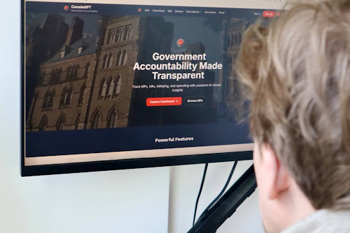
New AI tool aims to make federal politics easier to track
“CanadaGPT” is designed to simplify complex government activity by giving users a clear understanding of what’s happening in Ottawa.
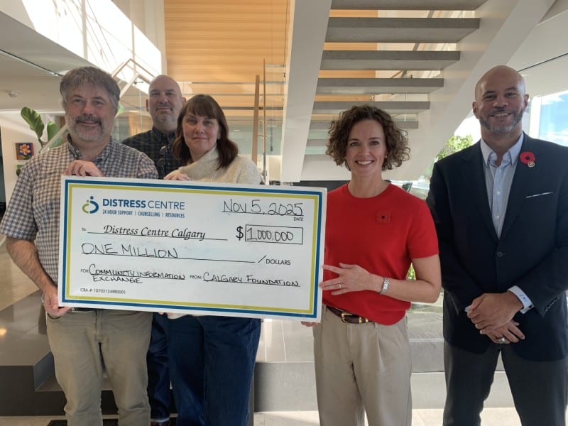
Calgary community services to begin sharing data, promising ‘more reliable support’ to vulnerable clients
Distress Centre Calgary has been piloting a Community Information Exchange (CIE) in the city in partnership with other non-profits and public sector services. It would allow organizations working with the same individuals to enter and view data about that person’s journey through various frontline systems.